
Snow and Weather ForecastsSnow forecast
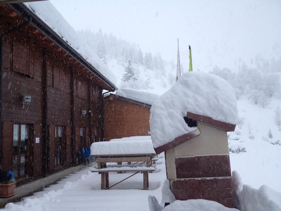

It will be a first decade of March as cold as in 1985! The Ural wind, the Buran, will appear on Italy. In the Po Valley, the mercury column will fall below 10 degrees below zero in the next few days. And for the beginning of March great snowfalls are expected and even afterwards a long period of good winter weather seems to be expected (with the exception of spring).
Friday 23 February 2018 2 minutes reading time
The Siberian cold is on its way and a bit begins to be felt from today, but the true drop in temperatures will start on Sunday, when Buran, a wind that originates from the Russian-Siberian sector, will come from the eastern sectors, east of the Urals: it is a strong wind from the Northeast that blows in Siberia and is accompanied by intense cold that gives rise to real snow storms. When Buran crosses the Urals, it can also invade Europe and reach Italy, although the phenomenon is quite rare.
We must go back to 1985 and 2012 to find waves of frost similar to the one coming. Meteorologists say that in order to reach our country, the icy air will make a distance of about 5,800 kilometers. In some parts of Europe, temperatures will also reach -35 degrees, even -40. In many European countries it will be advised to stay in the house, except for emergencies. At the beginning of the next week in Moscow the thermometer will score -27 at night and will not exceed -12 during the day; in Berlin you will arrive at -15 and -4 during the day!
© ALL RIGHTS RESERVED
Social media engagement
More about Snow and Weather Forecasts

Weather and Snow Forecasts
El Niño strengthens: probability of a historic event in winter 2026/2027 rises to 75%
meteo@neveitalia, Friday 11 September, 16:42
Weather and Snow Forecasts
El Niño strengthens further: NOAA forecasts a possible historic event in winter 2026/2027
meteo@neveitalia, Thursday 27 August
Weather and Snow Forecasts
Nuova Zelanda, irruzione di freddo artico: l'Isola del Sud si imbianca
meteo@neveitalia, Tuesday 4 August 2026
Weather and Snow Forecasts
NOAA: El Niño returns—how could it affect the 2026–2027 winter in the Alps?
meteo@neveitalia, Friday 10 July 2026
Weather and Snow Forecasts
Una grande nevicata di fine stagione sulle Alpi: anche oltre mezzo metro di neve fresca nel weekend
meteo@neveitalia, Friday 13 March 2026
Weather and Snow Forecasts
Inverno protagonista sulle Alpi: nevicate diffuse da Ovest a Est, accumuli importanti nel Cuneese
meteo@neveitalia, Tuesday 16 December 2025Ultimi in Meteo e neve

El Niño si rafforza: sale al 75% la probabilità di un evento storico nell’inverno 2026/2027
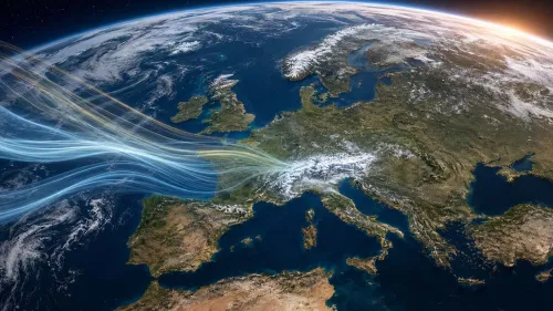
Il nuovo aggiornamento della NOAA conferma un ulteriore rafforzamento di El Niño. Per il trimestre ottobre-dicembre sale dal 69 al 75% la probabilità che il fenomeno raggiunga un’intensità mai osservata nella serie storica iniziata nel 1950. Uno scenario che dobbiamo monitorare per capire gli scenari possibili per l’inverno 2026/2027.
1k