
Snow and Weather ForecastsSNOW ALPS
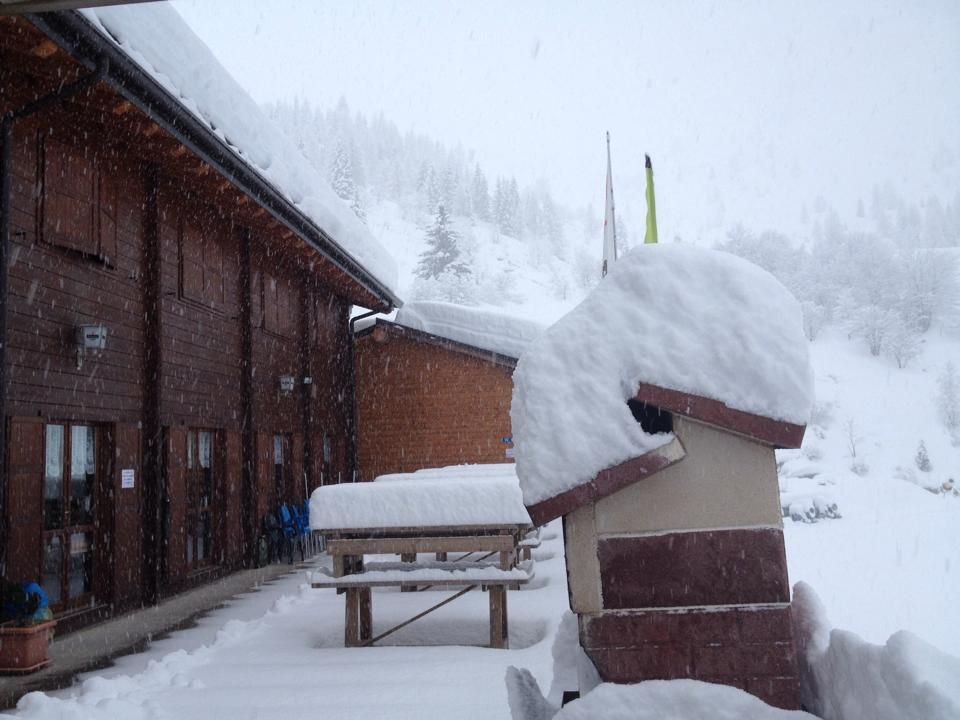

The long-awaited Atlantic perturbations that usually give real snow, which our Alps have significant need, are coming. The first disturbance is expected already for Monday night on the central-western Alpine areas by an average altitude of 900-1400m. Phase highlight is however expected Tuesday with copious snowfalls also on average between 1000-1400m, but also at lower odds on the most narrow valleys and in conjunction with the most intense phenomena (especially Valtellina, Trentino Alto Adige, Dolomites, Carnia).
Monday 27 February 2017 1 minutes reading time
Weekly projections show amounts greater than one meter on almost all of the Alps (except for the south-western and north-eastern areas), but in some cases you could go even further.
The first, abundant rainfall is expected for Tuesday, February 28 and will go right towards the 1200 meters 'altitude (down about 800 meters towards the evening, especially in Val d' Aosta, Piedmont high and high Lombardia). In confinali areas will continue to snow for much of the week, then Friday and Saturday should intervene a new substantial deterioration.
© ALL RIGHTS RESERVED
Social media engagement
More about Snow and Weather Forecasts

Weather and Snow Forecasts
El Niño strengthens: probability of a historic event in winter 2026/2027 rises to 75%
meteo@neveitalia, Friday 11 September, 16:42
Weather and Snow Forecasts
El Niño strengthens further: NOAA forecasts a possible historic event in winter 2026/2027
meteo@neveitalia, Thursday 27 August
Weather and Snow Forecasts
Nuova Zelanda, irruzione di freddo artico: l'Isola del Sud si imbianca
meteo@neveitalia, Tuesday 4 August 2026
Weather and Snow Forecasts
NOAA: El Niño returns—how could it affect the 2026–2027 winter in the Alps?
meteo@neveitalia, Friday 10 July 2026
Weather and Snow Forecasts
Una grande nevicata di fine stagione sulle Alpi: anche oltre mezzo metro di neve fresca nel weekend
meteo@neveitalia, Friday 13 March 2026
Weather and Snow Forecasts
Inverno protagonista sulle Alpi: nevicate diffuse da Ovest a Est, accumuli importanti nel Cuneese
meteo@neveitalia, Tuesday 16 December 2025Più letti in Meteo e neve

NOAA: torna El Niño, come potrebbe influenzare l'inverno 2026-2027 sulle Alpi?
La NOAA (National Oceanic and Atmospheric Administration) ha pubblicato il 9 luglio il nuovo aggiornamento sul fenomeno climatico ENSO (El Niño-Southern Oscillation), confermando che El Niño è ormai in pieno sviluppo e che continuerà a rafforzarsi nei prossimi mesi. Secondo i climatologi statunitensi, il fenomeno dovrebbe raggiungere il proprio massimo proprio durante l'inverno boreale 2026-2027, con una probabilità del 97% di persistere fino alla primavera 2027 e con possibilità sempre più elevate di raggiungere un'intensità tra le più elevate osservate dal 1950.
2