
Snow and Weather ForecastsSnow weather
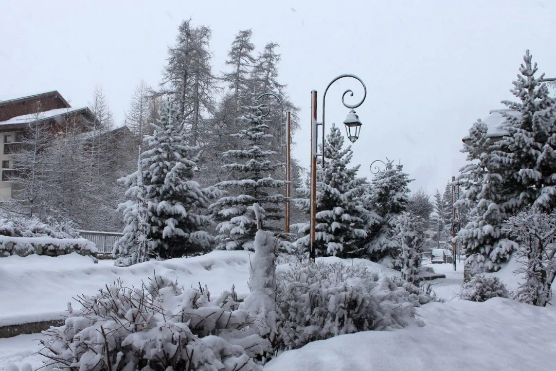

During the weekend the cold winds from Rossia will reach Italy, causing a general lowering of the temperatures especially in the North and on the Adriatic side of central Italy. According to the experts of 3BMeteo.com, already on Friday there will be thickening on the Apennines and the first phenomena that in the night will bring the first dustings up to 1000-1300 m. Some staples will also be possible on western Piedmont above 1000 m.
Friday 16 November 2018 2 minutes reading time
SATURDAY - Some rain or downpour on the southern Adriatic adriatic slopes, Ionian areas and Sardinia. Some reverse on Romagna. Snowflakes on the ridge above 900-1400m. Residual phenomena on Western Piedmont of snowy type under 1000m. Falling temperatures.
SUNDAY - unstable weather with some rain on medium and low Adriatic side with some rain or downpour, as well as on Sardinia and Sicily with phenomena moving towards Calabria. Elsewhere mostly dry. Temperatures in further decrease.
NEXT WEEK (minor reliability). A new and more intense impulse of cold air from Eastern Europe will point to Italy and will feed a depression west of the boot. Cold air will flow over the northern regions and between Monday and Tuesday, near the central-western Alps, new snowfalls are expected at hilly levels, sometimes even in the plains of Piedmont. In the Center-South the cold air will inverse with the milder one recalled along the right edge of the depression and the snow limit will result in a gradual rise. The worsening in central Italy will begin on Monday evening and the snow will fall from 900 / 1200m on the central Apennines, at lower altitudes on the Emilian one, higher on the southern one. Tuesday snow from 1000 / 1300m on the north-central ridge, at much higher altitudes on the south.
© ALL RIGHTS RESERVED
Social media engagement
More about Snow and Weather Forecasts

Weather and Snow Forecasts
El Niño strengthens: probability of a historic event in winter 2026/2027 rises to 75%
meteo@neveitalia, Friday 11 September, 16:42
Weather and Snow Forecasts
El Niño strengthens further: NOAA forecasts a possible historic event in winter 2026/2027
meteo@neveitalia, Thursday 27 August
Weather and Snow Forecasts
Nuova Zelanda, irruzione di freddo artico: l'Isola del Sud si imbianca
meteo@neveitalia, Tuesday 4 August 2026
Weather and Snow Forecasts
NOAA: El Niño returns—how could it affect the 2026–2027 winter in the Alps?
meteo@neveitalia, Friday 10 July 2026
Weather and Snow Forecasts
Una grande nevicata di fine stagione sulle Alpi: anche oltre mezzo metro di neve fresca nel weekend
meteo@neveitalia, Friday 13 March 2026
Weather and Snow Forecasts
Inverno protagonista sulle Alpi: nevicate diffuse da Ovest a Est, accumuli importanti nel Cuneese
meteo@neveitalia, Tuesday 16 December 2025Più letti in Meteo e neve

NOAA: torna El Niño, come potrebbe influenzare l'inverno 2026-2027 sulle Alpi?
La NOAA (National Oceanic and Atmospheric Administration) ha pubblicato il 9 luglio il nuovo aggiornamento sul fenomeno climatico ENSO (El Niño-Southern Oscillation), confermando che El Niño è ormai in pieno sviluppo e che continuerà a rafforzarsi nei prossimi mesi. Secondo i climatologi statunitensi, il fenomeno dovrebbe raggiungere il proprio massimo proprio durante l'inverno boreale 2026-2027, con una probabilità del 97% di persistere fino alla primavera 2027 e con possibilità sempre più elevate di raggiungere un'intensità tra le più elevate osservate dal 1950.
206