
Snow and Weather ForecastsSnow forecast
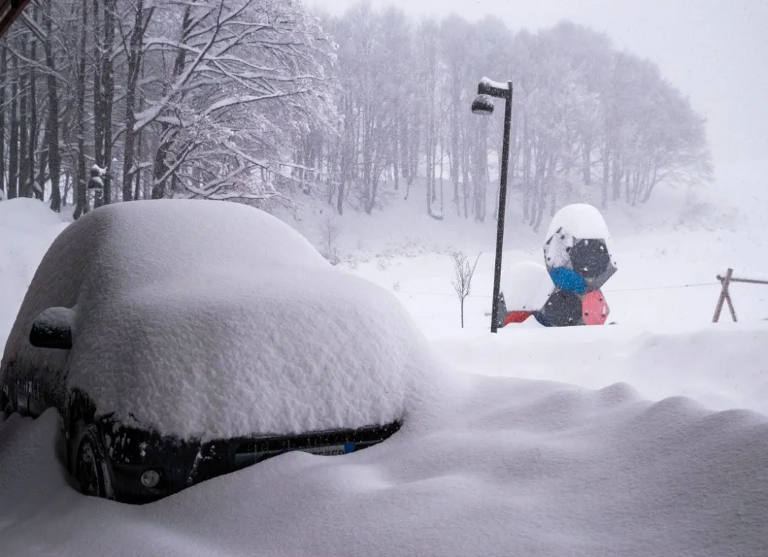

A new disturbance is arriving starting Thursday evening from the Atlantic slopes.
Thursday 3 December 2020 4 minutes reading time
According to 3BMeteo, the first slope affected will be the Northwest, where it will give rise to bad weather on Friday in the North and on the medium-high Tyrrhenian Sea, with snowfall in the Alps and also at low altitudes in the North, sometimes even in the plains. A basic vortex between the UK and France will then push other fronts that will affect the weekend weather across many regions.
FRIDAY. SNOW in the Northwest also in the PLAINS; snow accumulations also quite important in the Alps, dry Romagna. Some rain also arriving between Lazio and Campania between afternoon and evening. Snow also in the plains of Piedmont and western Lombardy (flakes in Turin, Asti, Alessandria, Novara, Vercelli, Cuneo, but also in Milan and Varese). Snow on the Alps up to the valley floor, in Sondrio, Bolzano, Trento, Belluno, but with gradual transformation into rain in the evening and the following night; snow from 900 / 1100m on the Tuscan-Emilian ridge, from 1400m but with a rapidly rising altitude. Dry on Romagna, Adriatic and most of the South, with skies clouded by the passage of medium-high and stratified clouds.
SATURDAY. In the extreme north-west some bright spells in the western Alps bordering France, while Piedmont, Liguria, Lombardy and Triveneto, Sardinia and regions of the middle-upper Tyrrhenian remain disturbed with even intense phenomena. Snow limit on the Alps rising to 600 / 1000m, sometimes lower in the Northwest. Accumulations of even more than one meter of fresh snow over 1500m in the Lombardy Alps and Dolomites, snow limit at much higher altitudes in the Apennines, up to 1800m in the Lazio region. Some showers are also arriving on the Ionian areas, especially between Sicily and Calabria, elsewhere it remains dry with partial bright spells. Strong winds between south-southwest and southeast with gusts of Garbino on the Adriatic, where temperatures will increase significantly.
SUNDAY still unstable in the Northeast and a good part of the Center-South, especially on the Tyrrhenian side, with phenomena gradually diminishing during the day. Snow on the Alps from 600 / 1000m, over 1000 / 1400m on the Northern Apennines, up to 1800m on the Central one. Winds still very strong with cyclonic rotation.
#FUORINEVICA
© ALL RIGHTS RESERVED
Social media engagement
Ultimi in Meteo e neve

El Niño si rafforza: sale al 75% la probabilità di un evento storico nell’inverno 2026/2027
Il nuovo aggiornamento della NOAA conferma un ulteriore rafforzamento di El Niño. Per il trimestre ottobre-dicembre sale dal 69 al 75% la probabilità che il fenomeno raggiunga un’intensità mai osservata nella serie storica iniziata nel 1950. Uno scenario che dobbiamo monitorare per capire gli scenari possibili per l’inverno 2026/2027.
896