
Snow and Weather Forecasts
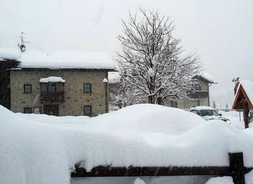

After a break that led to touch the 20 & deg; C on the slopes of mountains, ski resorts in the Alps, from Wednesday & Igrave; returns the 'Winter is confirmed 3Bmeteo that confirms that the' high-pressure go forward and soon will start & agrave; to step aside allowing snowy Atlantic perturbations to reach the Mediterranean.
Monday 1 February 2016 4 minutes reading time
"An initial perturbation '' trailblazer '' & egrave; & igrave wait between Wednesday, and Thursday on igrave;" - Explains 3BMeteo - and "will cross & agrave; the peninsula from north to south with a quick pass of rain and thunderstorms especially in the Northeast and along the Adriatic slopes. Little or nothing unfortunately on Northwest, Central Tyrrhenian and Islands More. If these certainly precipitation does not will be sufficient to remedy the drought & agrave; that plagues much of the Peninsula, the perturbation will have & agrave; at least the merit to bring down the temperatures of pi & ugrave values; responsive to the average of the period, after the 'exceptional mildness of these days ".
"They will arrive twenty pi & ugrave; cold from the north that will drop the temperatures of 7-10 & deg; C by Thursday on igrave ;, if not up to over 15 & deg; C in the mountains. Torner & agrave; a bit '' of snow on the eastern Alps and Apennines, also under the 1000-1200m ".
"A second pi & ugrave; intense disturbance should instead reach next weekend" - continues 3BMeteo - this time bringing more & ugrave bad weather; marked by heavy snowfall in the Alps, with accumulations that may locally exceed 1 meter of fresh snow above the altitude of 1800-2000m. Sar & agrave; in reality & agrave; a pi & ugrave worsening; autumn and winter the mold, in fact do & agrave; particularly cold and indeed the temperatures will rise to Centrosud for the 'arrival of winds of Scirocco, but given the overall situation this can not memorize options only be considered good news. "
"At the beginning of February, in fact, we still find ourselves in conditions of extreme drought & agrave; with rivers and lakes in the dry and most of the mountains without snow" - reminiscent of the experts 3bmeteo -. If in fact in January is not a particularly rainy month, to aggravate our situation & egrave; the burden of a particularly stingy with the autumn rains. Many rivers are dry, even the Po is locally 4 meters below the normal water level. The consequences will be even more & ugrave; serious in the spring when you will have & agrave; resorting all''uso massive dell''irrigazione the fields, but the 'water could be scarce. The Alps are virtually no snow, you & egrave; a key element in ensuring the 'water supply during dell''anno, since the' water is retained by the ice and snow and then steadily released over the spring and summer months, so we welcome the Atlantic perturbations ".
© ALL RIGHTS RESERVED
Social media engagement
Ultimi in Meteo e neve

El Niño si rafforza: sale al 75% la probabilità di un evento storico nell’inverno 2026/2027
Il nuovo aggiornamento della NOAA conferma un ulteriore rafforzamento di El Niño. Per il trimestre ottobre-dicembre sale dal 69 al 75% la probabilità che il fenomeno raggiunga un’intensità mai osservata nella serie storica iniziata nel 1950. Uno scenario che dobbiamo monitorare per capire gli scenari possibili per l’inverno 2026/2027.

2